


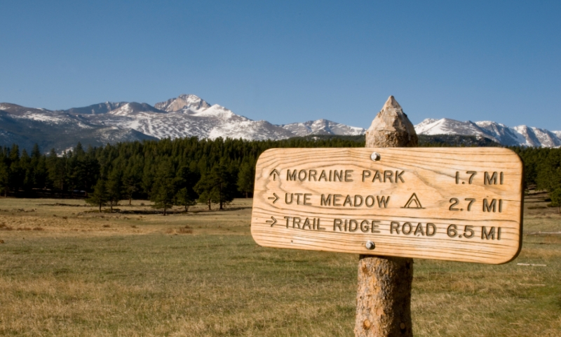

- Estes Park’s hiking and backpacking includes hundreds of miles of trails in Rocky Mountain National Park and Roosevelt National Forest
- Escape to mountain lakes, meadows, and rivers for days at a time
- For a steep and challenging climb go to the St Vrain Glaciers
Where can I go Hiking & Backpacking?
Lost Lake (Rocky Mountain National Park)
On the trail to Lost Lake secluded backcountry campsites are hidden in the pine trees and meadows. You’ll hike right next to the North Fork Big Thompson River. Set up camp mid-way, continue to the lake, and retreat to your campsite for a well-earned night’s sleep.
- Distance: 9.96 miles one-way to Lost Lake
- Average Time: 11 hours round trip
- Elevation Gain: 2,924 feet
- Difficulty: Moderate
- Trail Type: Out-and-back
- Trailhead: Dunraven/North Fork Trailhead
Fern Lake (Rocky Mountain National Park)
Along the trail you’ll find some backcountry campsites, including Old Forest Inn, which is right next door to the Big Thompson River.
Pitch your tent and continue on your hike. Before you reach Fern Lake, you’ll discover natural formations including The Pool, Arch Rocks, Fern Falls, and Marguerite Falls. Don’t forget to bring your fishing rod!
- Distance: 7.6 miles round trip
- Average Time: 4.5 hours
- Elevation Gain: 1,338 feet to lake (245 feet to Old Forest Inn Campsite)
- Difficulty: Moderate
- Trail Type: Out-and-back
- Trailhead: Fern Lake Trailhead
Bridal Veil Falls (Rocky Mountain National Park)
On your way to the falls set up camp at the Peregrine campsite, about two miles from the trailhead.
Take the trail up to Bridal Veil Falls, or take a longer hike up to Gem Lake. Both are gorgeous! After hiking enjoy the sounds of the river as you sleep.
- Distance: 6.44 miles round trip
- Average Time: 3.5 hours
- Elevation Gain: 1,040 feet
- Difficulty: Easy/Moderate
- Trail Type: Out-and-back
- Trailhead: Cow Creek Trailhead
Mill Creek Basin Loop and Lakes (Rocky Mountain National Park)
You start with a stroll through a wide-open meadow. Longs Peak is in view to the south. When you reach the crevice between the mountains you’ll be pleasantly surprised by huge Aspen trees. Mill Creek flows beside the trail and the hillside is speckled with wild flowers.
This trail is great because you can hike up to Bierstadt Lake or Cub Lake, and still manage to escape the crowds. Horses are welcome.
- Distance: 1.9 miles to campsite
- Average Time: 1.75 out-and-back
- Elevation Gain: 600 feet
- Difficulty: Easy/Moderate
- Trail Type: Loop
- Trailhead: Hollowell Park Trailhead
Gibraltar Lake and St Vrain Glaciers (Roosevelt National Forest)
This ascent is steep and challenging. When you reach your destination, you’ll find a basin holding Gibraltar Lake, a handful of smaller lakes, and a half dozen glacial remnants.
Pitch your tent at Camp Dick, Peaceful Valley, or contact the Boulder Ranger District about backcountry campsite permits (303) 541-2500.
- Distance: 8.4 miles one-way
- Average Time: 18 hours round trip
- Elevation Gain: 2,600 feet
- Difficulty: Difficult/Extremely Difficult
- Trail Type: Out-and-back
- Trailhead: Middle Saint Vrain Trailhead

